


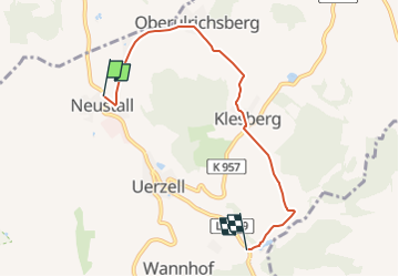

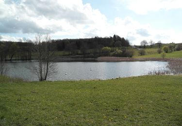
6,2 km | 7,3 km-effort

Tous les sentiers balisés d’Europe GUIDE+


Gratisgps-wandelapplicatie
 SityTrail
IGN / Geografische instituten
SityTrail World
De wereld gaat voor u open
Tocht Te voet van 4,8 km beschikbaar op Hessen, Main-Kinzig-Kreis, Steinau an der Straße. Deze tocht wordt voorgesteld door SityTrail - itinéraires balisés pédestres.
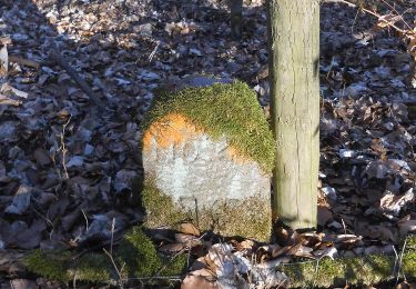
Auf Nachfrage konnte niemand sagen wer diesen Wanderweg verantwortet. Völliges Rätsel.
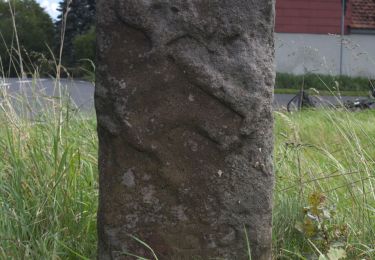
Symbol: Roter Text UW auf weißem Grund


Te voet
Te voet
Te voet
Te voet
Te voet

Te voet